


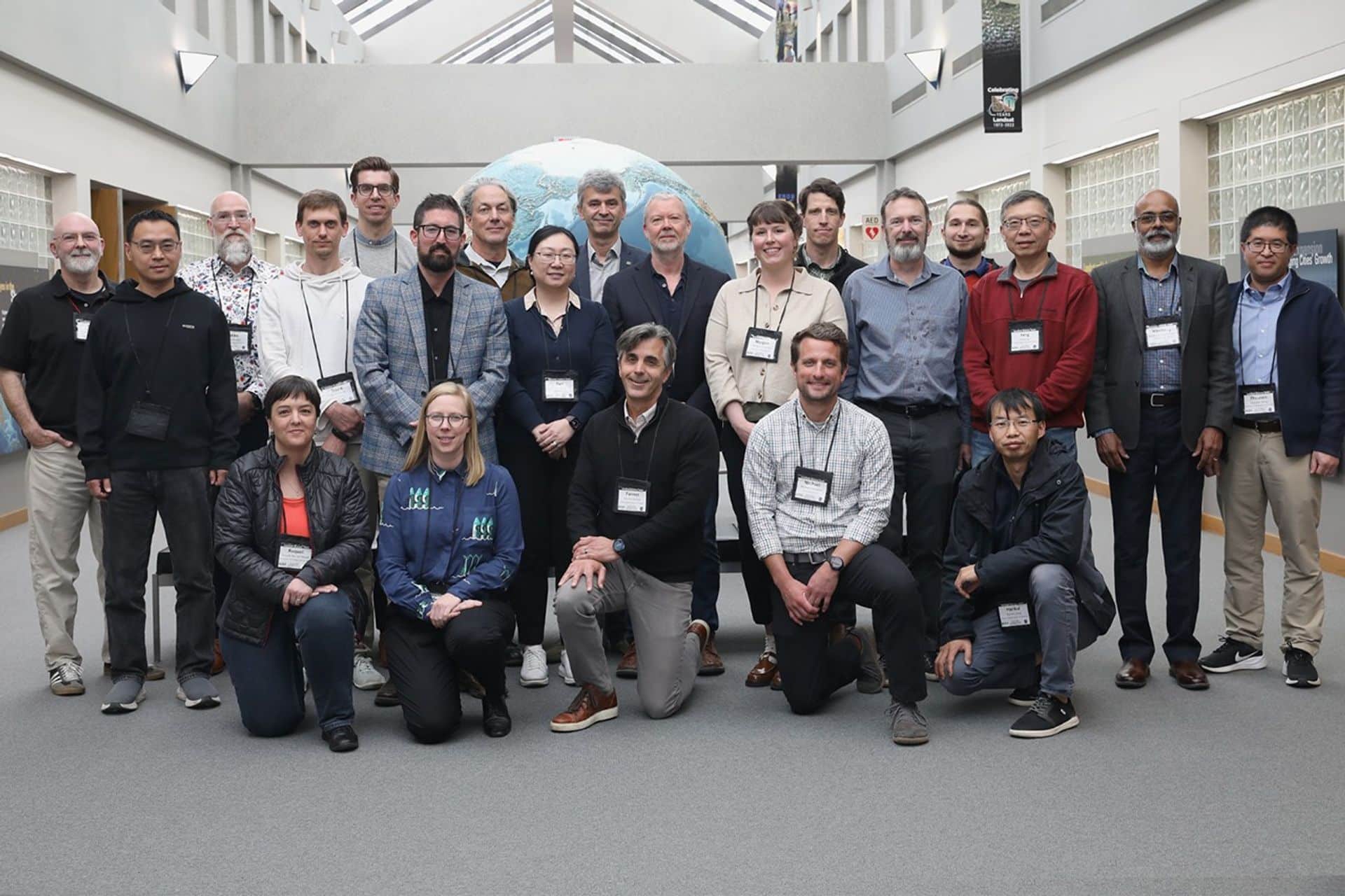
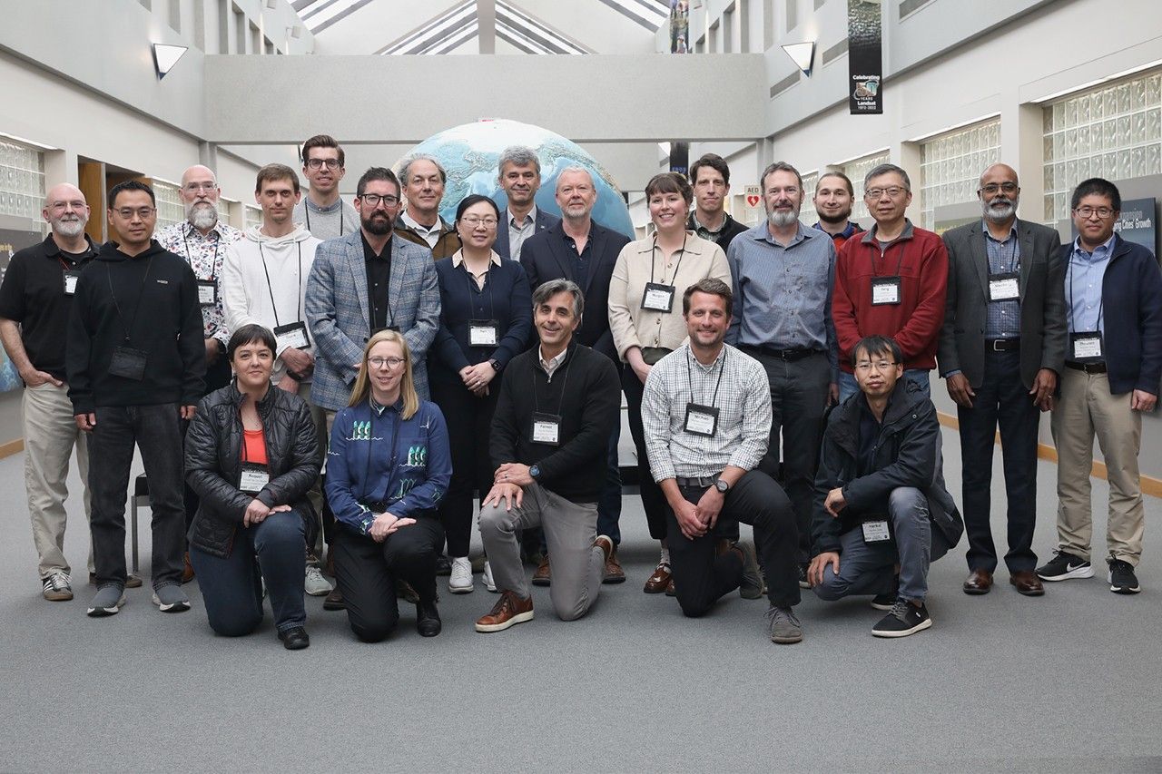
The Landsat science team for the 2026–2030 period held its first in-person meeting from May 5 to 7, 2026, at the Earth Resources Observation and Science (EROS) Center in Sioux Falls, South Dakota. As reported on the NASA website, the three-day meeting was co-moderated by Landsat 8, 9, and 10 Project Scientist Chris Nay. USGS and NASA leadership began shaping a strategic vision for the program over the coming five years.
What Was Discussed at the Landsat Science Team Meeting
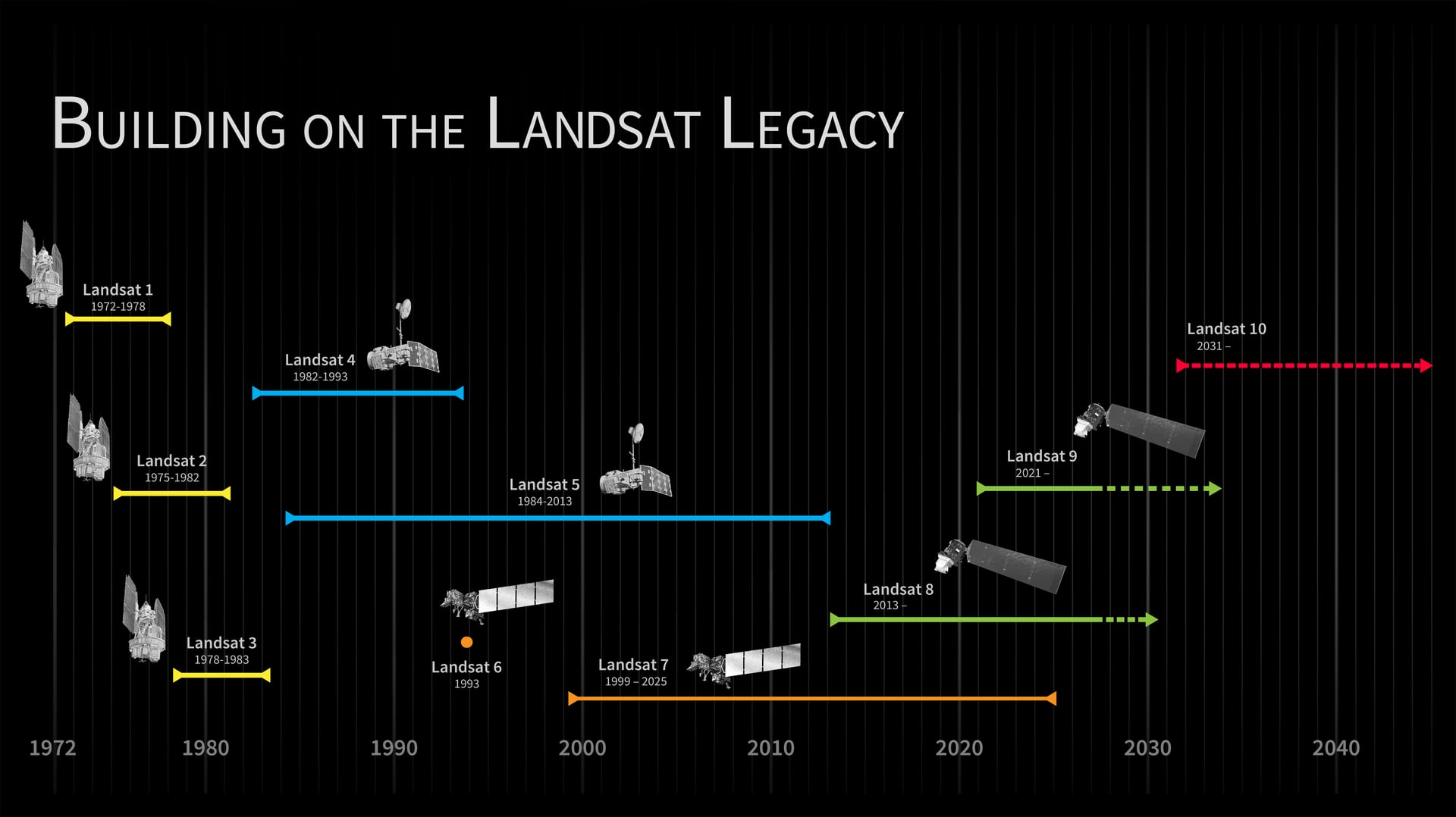
During the meeting, participants presented overviews of current research and prospects for the Landsat program’s development. According to NASA, the team received detailed updates on three key areas: progress on the upcoming Landsat 10 satellite, the status of interagency and international collaboration on Harmonized Landsat and Sentinel-2 (HLS) data products, and plans for the formation of Collection 3 (C3).
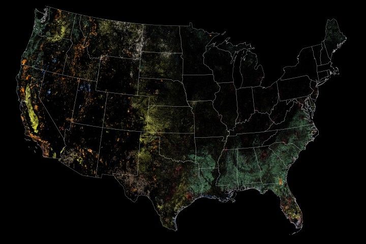
Meeting participants — representatives from funded, international, and federal programs — demonstrated applications of Landsat data across various Earth science disciplines. The announcement references snow cover mapping, atmospheric correction, water quality monitoring, evapotranspiration, agricultural applications, and volcanic activity monitoring.
Four Technical Themes: Working Group Outcomes
The concluding phase of the meeting consisted of thematic sessions in which experts formulated recommendations across four technical themes that will govern data processing for future missions.
Surface Reflectance
The surface reflectance working group identified several priority tasks: topographic and adjacency correction, Bidirectional Reflectance Distribution Function (BRDF) correction, and improved cloud masking with unified approaches for HLS products. Specific recommendations included incorporating CMIX2 cloud masking results into future collections and mapping the C3 toolchain dependencies for user-applied corrections.
Surface Temperature and Emissivity
Discussions on land surface temperature and emissivity focused on ensuring consistency across the data archive. According to the announcement, the team recommended either retaining the original spatial resolution or standardizing it to 60 meters — with additional testing in the context of volcanological research. Support was also expressed for using ASTER GED/CAMEL emissivity datasets and for preparing to work with Landsat 10’s five thermal bands through comparison with ECOSTRESS data. Closer collaboration was recommended among NASA’s Jet Propulsion Laboratory (JPL), the Rochester Institute of Technology (RIT), and the EROS Center to assess the impact of atmospheric inputs on harmonization.
Aquatic Reflectance
Aquatic reflectance experts raised serious concerns regarding Landsat 10’s planned 18-day revisit cycle, noting that such an interval would significantly limit monitoring of dynamic processes — in particular, harmful algal bloom events. The group called for increased investment in validation infrastructure for inland water bodies, in coordination with international efforts under CEOS. It also strongly recommended against pixel-by-pixel algorithm switching to avoid data discontinuities, and urged strict compliance with the CEOS Aquatic Reflectance V2.0 standards.
Projections, Tiling, and the Pixel
The projections and tiling working group broadly endorsed the USGS pixel grid plan covering resolutions of 10, 15, 20, 30, 60, and 120 meters. However, it recommended conducting additional trade-off analyses to optimize pixel replication errors, data storage cost management, and compatibility with the next generation of Sentinel-2. Should outstanding technical grid issues remain unresolved, the group recommended retaining the Collection 2 approach (UTM and polar stereographic projections) while continuing to refine Analysis Ready Data (ARD) products for the conterminous United States, Hawaii, and Alaska.
Significance of the Meeting for the Program’s Future
According to NASA, the recommendations developed during the thematic sessions form a roadmap for the new Landsat science team. They are intended to ensure that the global scientific community has access to high-quality, actionable Earth remote sensing data through the end of the decade.
The Landsat program is jointly operated by NASA and the U.S. Geological Survey (USGS) and represents one of the longest-running satellite Earth surface observation programs. Data from the Landsat satellite series are used in agriculture, water resource management, forestry, disaster monitoring, and other fields — including in Central Asian regions, where remote sensing plays an important role in assessing the condition of glaciers and water resources.
Источник: NASA Breaking News


Comments on this article